Detail View: Maps: Louisiana
|
Filename:
|
m20181206-0015.jpg
|
|
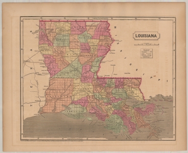
Title:
|
Louisiana
|
|
Coverage:
|
Louisiana
|
|
Creator:
|
Charles Morse
|
|
Date:
|
1856
|
|
Subject:
|
Regional map
|
|
Description:
|
Map of Louisiana by Charles Morse, showing parishes and townships.
|
|
Format:
|
15 x 12.5 inches
|
|
Language:
|
English
|
|
Rights:
|
This image may be used without charge for non-commercial web sites under the condition that the sites or pages on which images appear contain a link back to the home page of the Noel Collection. The image may also be reproduced without charge in scholarly publications or in other printed material related to non-profit scholarly activities provided that such publications include a credit line acknowledging the Noel Collection as the source of the visual material. For all other purposes, please request permission to republish or redistribute images from the Noel Collection Curator.
|