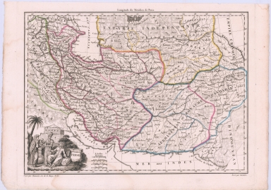
Detail View: Maps: Perse [Persia]
|
Filename:
|
m20181204-0006.jpg
|
|
Title:
|
Perse [Persia]
|
|
Coverage:
|
Iran
|
|
Coverage:
|
Caucasus
|
|
Coverage:
|
Central Asia
|
|
Creator:
|
Conrad Malte-Brun
|
|
Date:
|
1812
|
|
Subject:
|
Regional map
|
|
Description:
|
Finely engraved map (with indigenous vignette) of Iran/Persia during the Napoleonic Era.
|
|
Format:
|
12 x 9 inches
|
|
Language:
|
French
|
|
Rights:
|
This image may be used without charge for non-commercial web sites under the condition that the sites or pages on which images appear contain a link back to the home page of the Noel Collection. The image may also be reproduced without charge in scholarly publications or in other printed material related to non-profit scholarly activities provided that such publications include a credit line acknowledging the Noel Collection as the source of the visual material. For all other purposes, please request permission to republish or redistribute images from the Noel Collection Curator.
|