COLLECTION NAME:
Maps
Record
Filename:
m20181217-0028.jpg
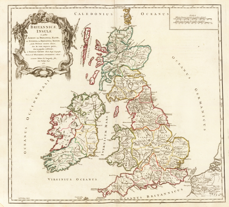
Title:
Britannicae Insulae in quibus Albion seu Britannia Major, et Ivernia seu Britannia Minor, juxta Ptolemoei mentem divisae, tum in suas majores partes, tum in populos exhibentur
Coverage:
Great Britain
Coverage:
England
Coverage:
Ireland
Coverage:
Scotland
Coverage:
Wales
Publisher:
[Paris] : [Boudet Libraire Imprimeur du Roi]
Creator:
Robert de Vaugondy, Didier, 1723-1786
Date:
1750
Subject:
Early Maps
Description:
Appears in Robert de Vaugondy, Gilles and Didier Robert de Vaugondy. Atlas universel. Paris : Chez les Auteurs, Quay de l'Horloge du Palais, Boudet Libraire Imprimeur du Roi, Ruë St. Jacques, 1757.
Contributor:
Haye, G. de la
Contributor:
Sanson, Nicolas, 1600-1667
Language:
French
Rights:
This image may be used without charge for non-commercial web sites under the condition that the sites or pages on which images appear contain a link back to the home page of the Noel Collection. The image may also be reproduced without charge in scholarly publications or in other printed material related to non-profit scholarly activities provided that such publications include a credit line acknowledging the Noel Collection as the source of the visual material. For all other purposes, please request permission to republish or redistribute images from the Noel Collection Curator.