|
REFINE
Browse All : North America – Maps -- Early works to 1800. and Early Maps and A New Map of the British Dominions in North America; with the Limits of the Governments annexed thereto by the late Treaty of Peace and settled by Proclamation of October 7th, 1763. and A New Map of the British Dominions in North America and British – America – Maps -- Early works to 1800. by Kitchin, Thomas, 1718-1784 and [London, England] : Thomas Kitchin of North America and Canada
1-1 of 1
Title
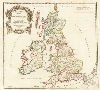
Britannicae Insulae in quibus Albion seu Britannia Major, et Ivernia seu Britannia Minor, juxta Ptolemoei mentem divisae, tum in suas majores partes, tum in populos exhibentur
Creator
Robert de Vaugondy, Didier, 1723-1786
Date
1750
Coverage
[Great Britain, England, Ireland, Scotland, Wales]
1-1 of 1
|